Página inicial
PLUS
Ferramentas de geração de IA
Novo
Gerador de imagens AI
Entregando criatividade à sua imaginação.
Novo
Upscaler de imagem AI
Amplie suas imagens em até 4x com um clique!
Novo
Preenchimento generativo de IA
Remova e substitua objetos em segundos!
Novo
Desfoque de Fundo com IA
Desfocar os fundos para destacar os objetos!
AI Background Remix
Fundos profissionais para seus produtos.
AI Image Extender
Amplie suas imagens para diferentes proporções.
Escrita de IA
O melhor companheiro de escrita para a era digital.
Remoção de fundo de IA
Remova facilmente fundos indesejados.
123RF PLUS
Obtenha soluções criativas com o auxílio de ferramentas de IA de ponta.
Ir para o PLUS
Temos duas novas ferramentas de IA!
Confira agora o Upscaler de imagem AI e o Preenchimento generativo de IA!
OK
Imagens Gratuitas
Stock
Fotos
Vetores
Vídeos
Áudios
Fontes
Corporate+
Preços
Ajuda
br
English
Deutsch
Español
Français
Magyar
Italiano
日本語
한국어
Nederland
Język polski
Português (PT)
Português (BR)
Русский язык
简体中文
繁體中文
Türkçe
Login
Vá ilimitado
Pesquisa por imagem
Pesquise no 123RF com uma imagem em vez de texto. Tente arrastar uma imagem para a caixa de pesquisa.
Arraste e solte o arquivo ou
Navegar
Arraste a imagem aqui
Todas as Imagens
Opções
Pesquisa por imagem
PREMIUM
Todas as Imagens
Fotos
Vetores
Vídeos
Áudios
Fontes
FREE
PLUS
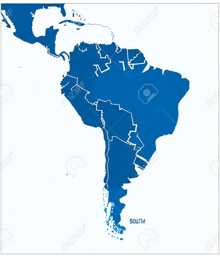
Political map of South America with all countries and national borders. Blue outline illustration on white background and english scaling.
AI Variation
AI Variation
peterhermesfurian
Siga
Pré-visualização
Compartilhar
X
Facebook
Pinterest
37005343
Ilustrações vetoriais PLUS
(SVG ou EPS)
Pesquisas de banco de imagens
south america
south america map
south american map
mapa america del sur
argentina map
american map
america del sur
map
paraguay
pacific
colombia
continent
bolivia
ecuador
galapagos
french guiana
falkland
political map
venezuela
americas
blue
white background
suriname
cartography
guyana
coastline
uruguay
outline
atlantic
silhouette
brazil
chile
atlas
country
geography
argentina
america
peru
Imagens de estoque semelhantes (Vetor, SVG e EPS)


 Pinterest
 37005343

 Novo
Novo
 Novo
Novo
 Novo
Novo


 37005343